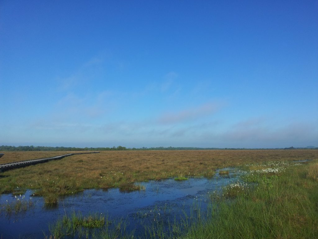
Clara Bog is one of the best remaining examples of a relatively intact raised bog in Western Europe. It has been said that you can experience ten thousand years of history in the ten square kilometres that accommodate Clara Bog and its surroundings. This refers to the influence that the last Ice Age had on the Irish landscape. To the north of the bog, an esker runs in an east-west direction. Eskers, steep ridges of layered sand and gravel, were laid down by retreating glaciars over 10,000 years ago. This esker impeded the drainage of glacial melt water from a low-lying area south of Clara which became a large, shallow lake.
Plants started to grow around the edges of the lake and in time, these plants extended over most of the lake’s surface, as it became infilled with dead plant matter. As this partly decayed plant matter, otherwise known as fen peat, grew above the influence of mineral rich groundwater or surface waters, spaghnum mosses and other plants which could thrive in a nutrient-poor rainwater-fed environment, began to dominate. Sphagnum mosses and other plants died, but did not decompose as soil microorganisms could not carry out this function in the acidic, waterlogged, low oxygen environment and the dead moss accumulated as sphagnum peat. This process, which started around 7,000 years ago, continues to this day. The accumulation of peat was greatest in the centre and least around the margins, where decomposition of the plant material was faster. This gave the bog its dome shape, raised up above the surrounding land, to which the name raised bog refers.
Clara Bog contains fine examples of hummocks, hollows, lawns, pools and flushes; all classic components of a raised bog. At Clara, a special feature are the soak systems, open water areas and very wet spots, where nutrients are more available and which therefore support a more diverse plant life than in the surrounding bog. These areas are sometimes tree-lined. Two such areas are Lough Roe and Shanley’s Lough.


